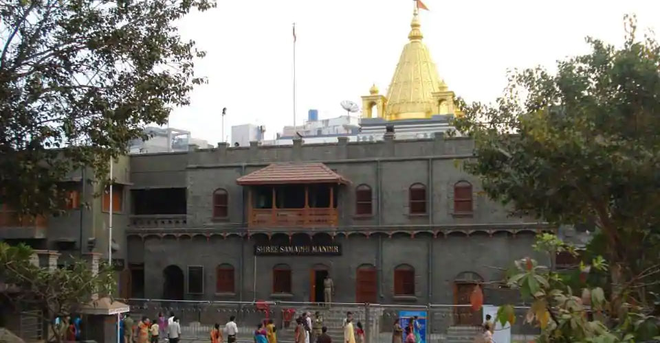
About Shirdi
Shirdi is located approximately 296 Kilometers from Mumbai (Bombay) City in India. The nearest railway station is Kopargaon 15 kilometers on Manmad-Daund section of Central Railways.
Shirdi town is situated in Rahata Tahasil in Ahmednagar District of Maharashtra State (India). It is located at 19o45' North Latitude and 74o25' East Longitude.
It falls on Ahmednagar-Manmad State Highway No.10 at 83 Km. from Ahmednagar, and 15 Km. from Kopargaon.
It (the Ahmednagar -Manmad road) was a very busy route in the old times. It is located at 185 Km. to the East from Western Seashore line.

|
City Name
|
District
|
State
|
Distance in Km.
|
|
Ahmedabad |
- |
- |
788 |
|
Ajanta caves |
Jalgaon |
Maharashtra |
243 |
|
Akkalkot |
Solapur |
Maharashtra |
345 |
|
Akola |
- |
Maharashtra |
547 |
|
Alandi |
Pune |
Maharashtra |
231 |
|
Amaravati |
- |
Maharashtra |
637 |
|
Aurangabad |
- |
Maharashtra |
136 |
|
Battis Shirale |
Sangali |
Maharashtra |
503 |
|
Chikhaldhara |
Amravati |
Maharashtra |
615 |
|
Dehu |
Pune |
Maharashtra |
234 |
|
Goundwale |
Satara |
Maharashtra |
265 |
|
Jejuri |
Pune |
Maharashtra |
238 |
|
Mahabaleshwar |
- |
Maharashtra |
314 |
|
Malshej Ghat |
Thane |
Maharashtra |
145 |
|
Mumbai |
- |
Maharashtra |
304 |
|
Nagpur |
- |
Maharashtra |
660 |
|
Nanded |
- |
Maharashtra |
400 |
|
Narshinhwadi |
Kolhapur |
Maharashtra |
469 |
|
Nasik |
- |
Maharashtra |
119 |
|
Paithan |
Aurangabad |
Maharashtra |
186 |
|
Pandharpur |
Solapur |
Maharashtra |
282 |
|
Pune |
- |
Maharashtra |
195 |
|
Rakshasbhuvan |
Beed |
Maharashtra |
175 |
|
Ramtek |
Nagpur |
Maharashtra |
730 |
|
Sajjangadh |
Satara |
Maharashtra |
315 |
|
Shegaon |
Akola |
Maharashtra |
356 |
|
Shikhar Shinganapur |
Satara |
Maharashtra |
252 |
|
Wardha (Sevagram) |
- |
Maharashtra |
647 |
Shirdi is not on railway map. To reach 'Shirdi' via railway one has to reach 'Manmad' station which is 83 Km. from 'Shirdi Village' or 'Nashik' city which is 119 Km. from 'Shirdi'. From there one may reach 'Shirdi Village' by taking bus or taxi.